Key Information
| Title | Emilia-Romagna’s Forest Digital Twin |
| Hazard | Drought and multi-risk |
| Region and Country | Emilia-Romagna, Italy |
| Action Type | Technical tool |
| Further Categorisation | Forest modelling; climate scenarios; decision support |
| Key links | VERA — Emilia-Romagna’s Digital Twin |
Context
Forests are a vital ecological and strategic asset for the Emilia-Romagna Region. Woodland currently covers about 30% of the regional territory, and this figure is steadily growing. In this changing environmental landscape, finding the right balance between protecting ecosystems and developing commercial forestry is more important than ever. Despite strong demand for timber across manufacturing supply chains, productive forest management in the region has yet to reach its full potential. This case study addresses this critical planning need by introducing new technological innovations.
Action Description
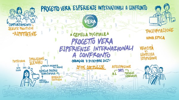
The Forest Digital Twin is a regional-scale modelling tool, developed by the Emilia-Romagna Region and Arpae (Agenzia regionale per la prevenzione, l’ambiente e l’energia dell’Emilia-Romagna), the regional agency for prevention, environment and energy. It assesses forest surface dynamics and how they evolve over time. The tool is the third use case (Case 3) of VERA (Virtualizing Emilia-Romagna Air Quality), the Region’s established digital twin. VERA runs high-resolution simulations of how the regional territory could evolve, and builds hypothetical scenarios of the region’s response to its policies on air quality and on tackling and adapting to climate change.
Woodland covers about 30 per cent of Emilia-Romagna and the area is steadily growing. The Region needs to balance the protection of forest ecosystems with the development of commercial forestry. Despite strong demand for timber across manufacturing supply chains, productive forest management in the region has yet to reach its full potential. Forest land use in the lowlands stands at 3 per cent, and the Po Valley holds the greatest potential for growth. Expanding lowland woodland addresses two priorities: reducing the impact of hot summers, and helping soils recover carbon by removing greenhouse gases from the atmosphere.
The model integrates projections under the RCP 4.5 emissions scenario, an intermediate scenario used by the Intergovernmental Panel on Climate Change, with land management hypotheses defined through what-if scenarios. It runs at time steps of up to one hour for water and photosynthesis. It tracks soil water availability, plant water stress and the total biomass stored in forest stands and in the soil. By linking these variables, the model calculates how much carbon the regional forest system can absorb and sequester each year. The tool uses free satellite data from Copernicus, the European Union’s Earth observation programme.
The model is in the final phase of implementation and currently builds future scenarios. In the coming months it could also be used to monitor current conditions. The Region intends to make the tool public, with free access.
Timeline & Evolution
At the moment the model is in the final fase of implementation. It builds a future scenarios but in the next months it coul be used also to monitor the current situation
Actors & Governance
The Forest digital Twin (Case 3 of the VERA project) is the result of an institutional and scientific collaboration between the Emilia-Romagna Region and Arpae. This partnership was further strengthened by scientific consultancy from the University of Bologna (Unibo) to ensure the accurate calibration and implementation of the soil and forest ecosystem models.
Implementation Considerations
This is made possible by free satellite data from the Copernicus program and the strategic partnership between the Region and Arpae, leveraging their highly specialized internal expertise.
Co-Benefits & Trade-Offs
Currently, forest land use in lowland areas stands at just 3%. However, the Po Valley holds the greatest potential for growth. Expanding woodland areas in the lowlands addresses two urgent environmental priorities: mitigating the impact of scorching summers and helping soils recover carbon by removing greenhouse gases from the atmosphere.
Best Practice Principles
Build new sector models on an existing regional digital twin. Adding a forest module to a digital twin the region already runs extends established infrastructure and data to a new policy area.
Test land management options against future climate. Combining climate projections with what-if land management scenarios lets planners compare forest management choices under the conditions forests are expected to face.
Link water stress to carbon in one model. Modelling soil water availability and plant water stress together with stored biomass connects drought conditions in forests to their annual carbon absorption.
Combine free data, agency expertise and academic calibration. Free satellite data removes the cost of acquiring imagery. Pairing a regional environmental agency’s internal expertise with university support for model calibration grounds the tool in tested science.
Next Steps
At the moment it is a pilot, but the idea it is to make it public, free access.